Map Skills: Using Different Maps Together
Through animation, maps of the same scale and projection are combined to show relationships between natural features of the earth, human use, and social and political features. Projects different kinds of animated maps of the same scale and explains how the maps are used in gaining an understanding of the relationships between the social, political, and natural features of the earth.
0More Like This
Sambesi - Quelle des Lebens
2010
Once ... Agadir
1971
Krušné hory.
1937
Domažlicko
1937
The Journey of Man: A Genetic Odyssey
2003
North American Regions: The Rocky Mountains
1967
Echoes from the Tian Shan
2025
Map Skills: Recognizing Physical Features
1970
North America: Its Rivers
1971
Do země ledovců
1950
Země jihu – Vietnam
1957
In the Valley of Neretva
1959
Od severu k jihu
1959
Před velkými dešti
1959
Antártica: O Continente dos Extremos
2021
North America: Its Plains and Plateaus
1971
Decolonising the Curatorial Process
2020
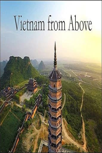
Vietnam from Above
2018
Maps Add Meaning to History
1970
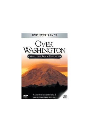
Over Washington
1989